 Escale Tagarine
Between the countryside and the coast
The region
Between the countryside and the coast
Between the Goëlo countryside and the coast of the Bay of Saint-Brieuc, the house is a starting point for two ways of discovering the region: on foot, along the paths that cross fields and forest to the bourg and to the plage du Moulin; by car, towards the small towns and harbours that make up the Trégor-Goëlo coast. The bourg d'Étables-sur-Mer is a 20-minute walk away, the plage du Moulin 25 minutes. The harbours of Binic and Saint-Quay-Portrieux, only slightly further away, can be the goal of a fine walk or a bike ride, or are simply reached by car in 5 minutes. Saint-Brieuc and Paimpol are less than 30 minutes away by car (or by bus on the BreizhGo 201 line). Further out, Pontrieux, Tréguier, Guingamp and the Île-de-Bréhat round out a region where countryside and coast are never far apart.
Distances from the house
What you can reach, and how long it takes
The bourg of Étables-sur-Mer
1.5 km · 20 min on foot
The plage du Moulin
2.5 km · 25 min on foot
Beaches and harbour of Saint-Quay-Portrieux
4 km · 20 min by bike
Beaches and harbour of Binic
5 km · 20 min by bike
Pontrieux
30 km · 30 min by car
Guingamp
30 km · 30 min by car
Paimpol
30 km · 30 min by car
Île-de-Bréhat
40 km · 40 min by car, then a 15-min ferry crossing
Tréguier
45 km · 40 min by car
On the doorstep
On the doorstep
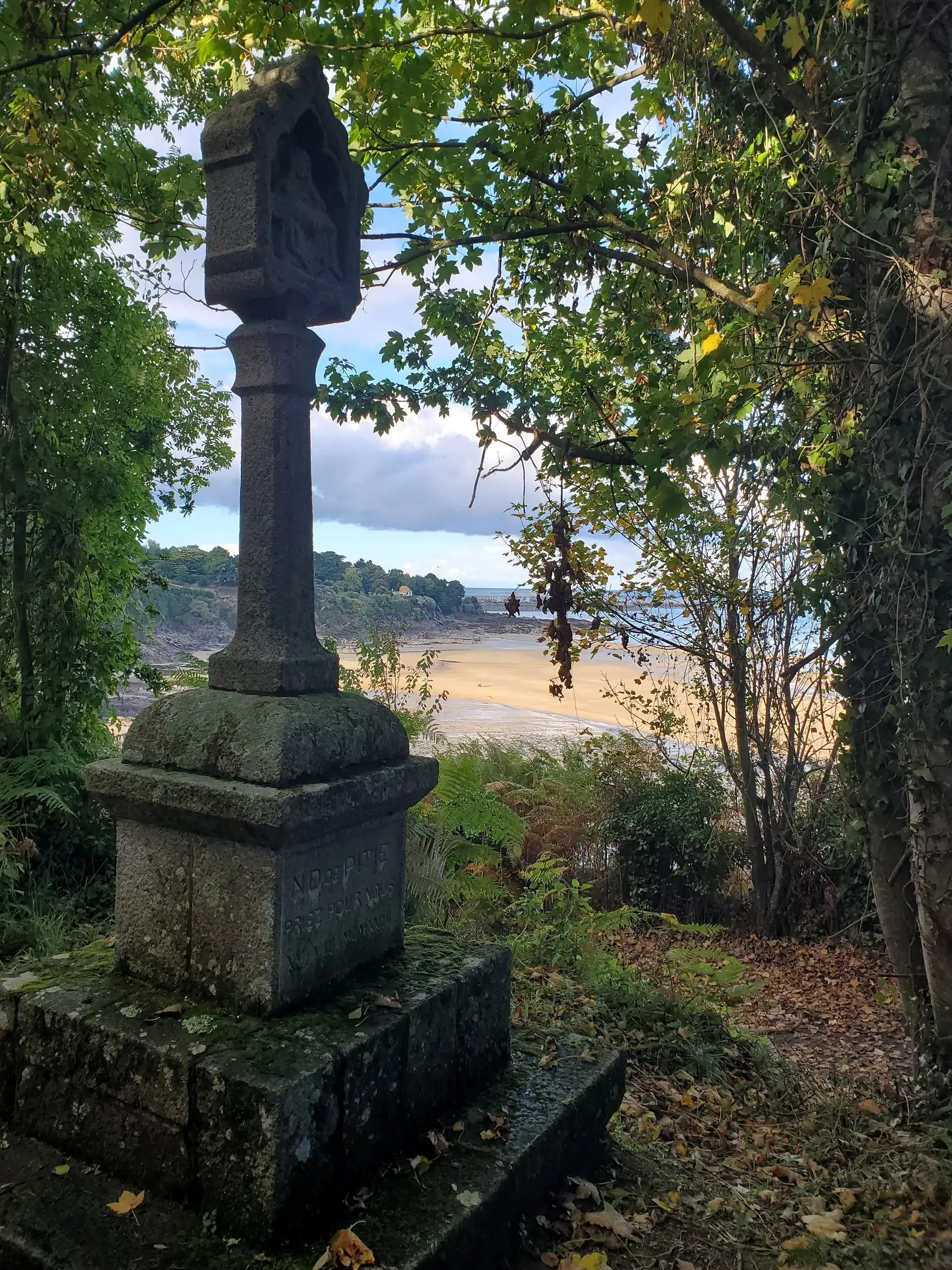
2.5 km · 25 min on foot
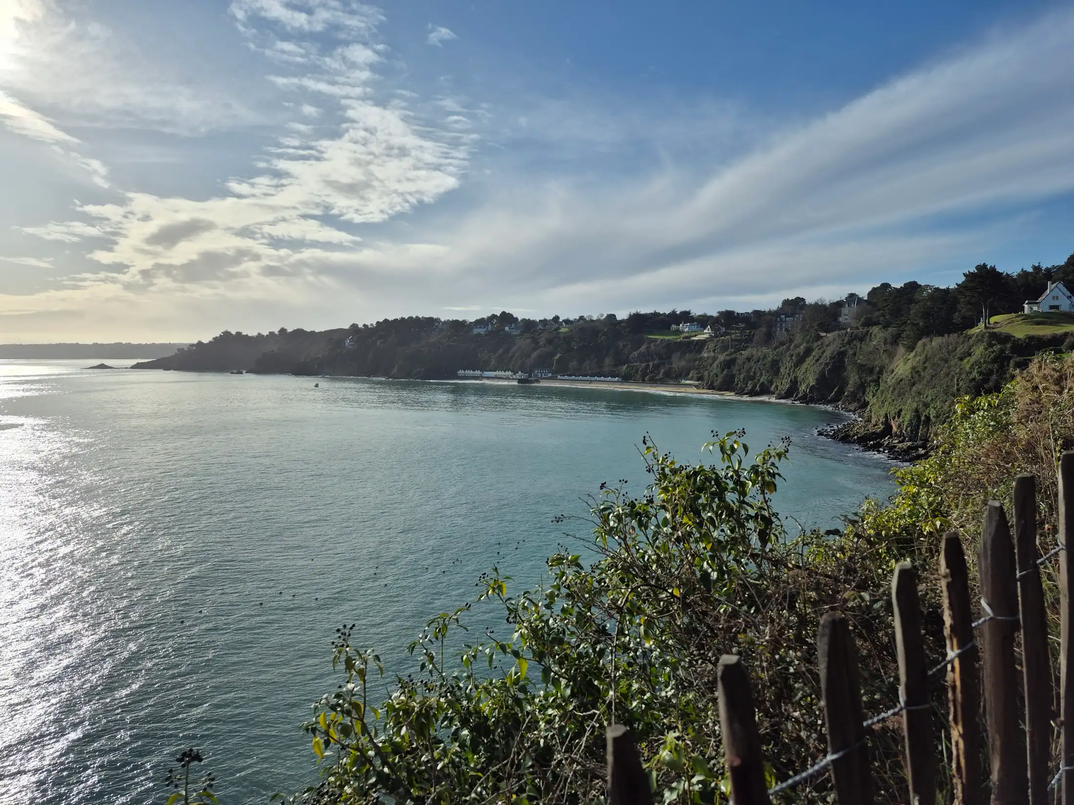
The plage du Moulin
View from the GR path towards the plage du Moulin, which you can reach on foot from the house.
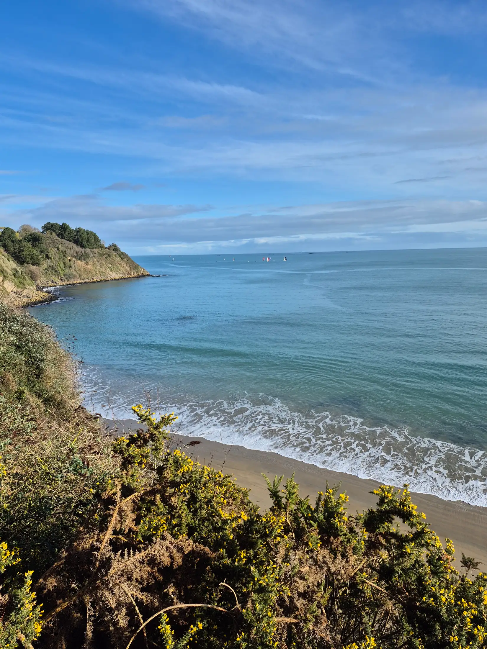
3 km · 40 min on foot
The plage des Godelins
A sandy beach, reached on foot along the GR34 or in a few minutes by car — ideal for a swim or a walk at sunrise.
20 min on foot
The GR34 coastal path
The old customs officers’ path runs along the coast from Binic to Saint-Quay-Portrieux and beyond — its arrival on the plage des Godelins is one of the finest in the area.
On site
The Ville Durand countryside
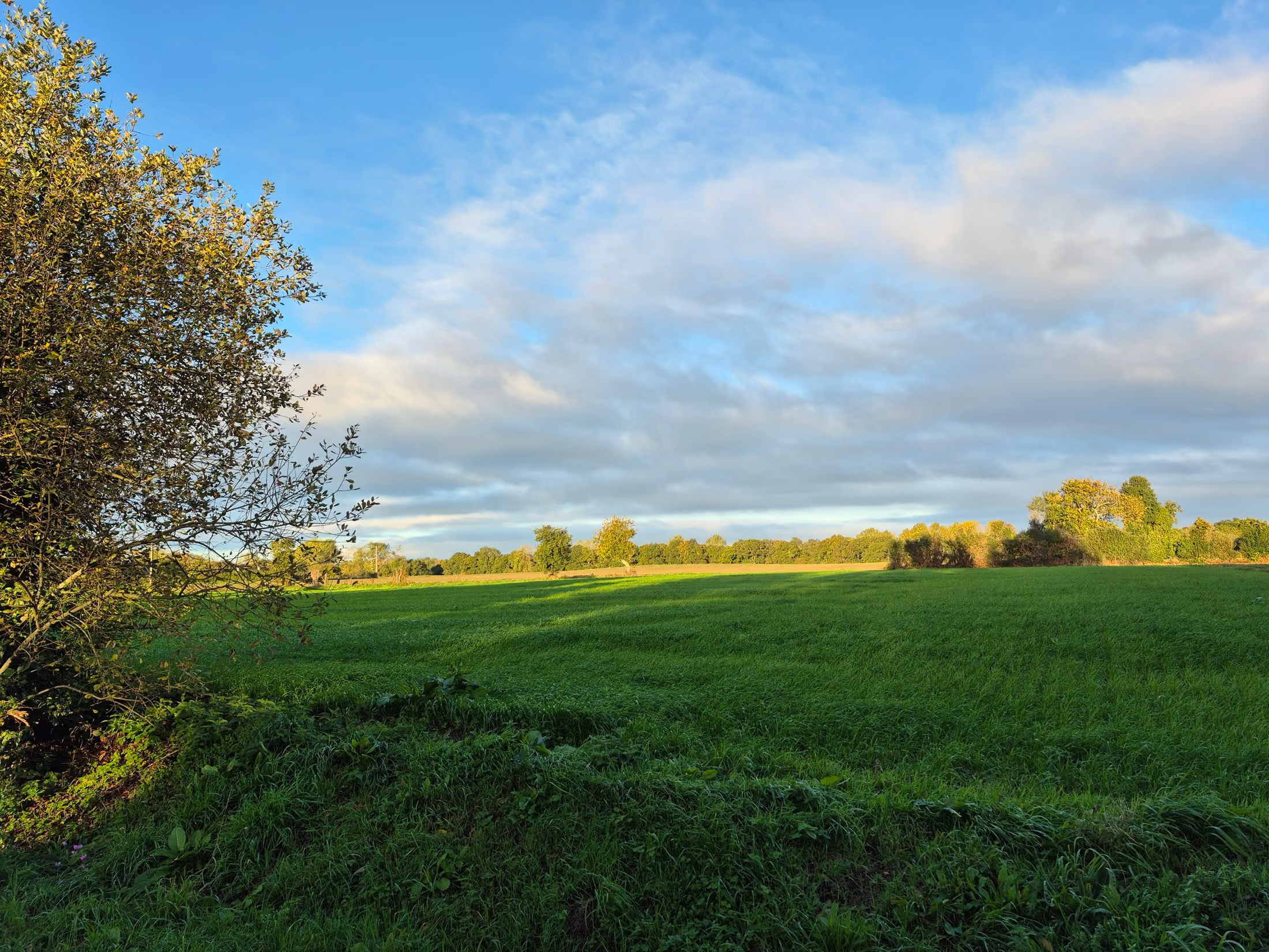
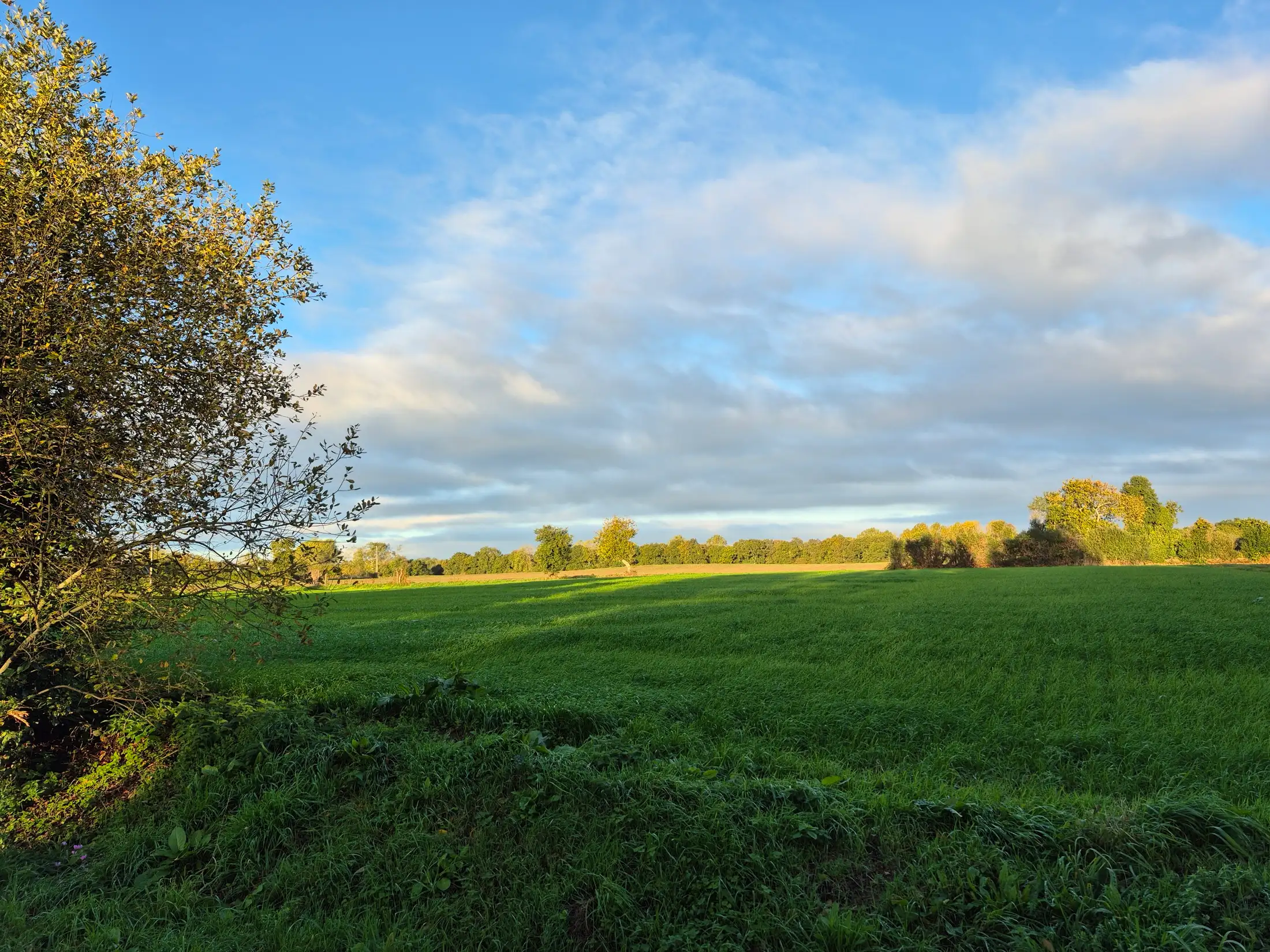
The hamlet where the house stands is surrounded by fields and bocage hedgerows — the starting point for every walk, beginning with the one that leads into the village.
Less than an hour away
Less than an hour away
30 km
Pontrieux
30 km · 30 min by car
A small "cité de caractère" on the banks of the Trieux, known for its timber-framed houses and boat trips up to the Traou-Long lock.
30 km
Guingamp
30 km · 30 min by car
A sub-prefecture of the Côtes-d'Armor, with its Notre-Dame de Bon-Secours basilica and cobbled historic centre.
30 km
Paimpol
30 km · 30 min by car
A fishing and sailing harbour made famous by Pierre Loti, and the starting point for the Île-de-Bréhat and the Falaises de Plouha coastal path.
40 km
Île-de-Bréhat
40 km · 40 min by car, then a 15-min ferry crossing
A car-free, garden-like island, reached by ferry from the pointe de l'Arcouest. Allow half a day.
45 km
Tréguier
45 km · 40 min by car
An episcopal town on the banks of the Jaudy, overlooked by its Gothic cathedral and cloister, at the tip of the Trégor.